Frequently asked questions
Does this work with both ArcGIS Pro and QGIS?
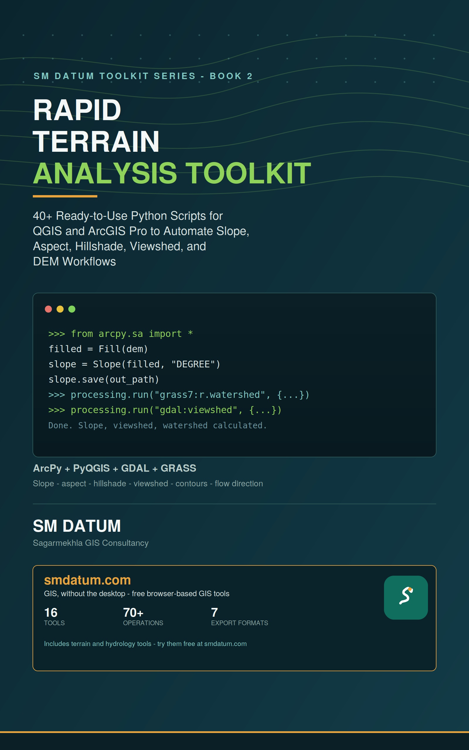
Yes. Every terrain script is given as both an ArcPy version for ArcGIS Pro and a PyQGIS version for QGIS.
What DEM formats does the book work with?
The scripts work with standard raster DEM inputs (GeoTIFF and similar) as read by ArcPy and GDAL/PyQGIS, and cover the common terrain derivatives — slope, aspect, hillshade, contours, viewshed, watershed and flow direction/accumulation.
What terrain analyses does this book automate?
Slope, aspect, and hillshade generation, viewshed analysis, batch contour extraction, and DEM-derived watershed delineation and flow-analysis pipelines — run across many DEM tiles in one pass instead of one at a time.
Do I need ArcGIS Spatial Analyst or 3D Analyst?
The ArcPy scripts use standard terrain geoprocessing tools available with typical ArcGIS Pro extensions; the PyQGIS equivalents use QGIS's free, open-source terrain analysis tools, so a no-cost path is included for every script.
What format is the book available in?
Kindle eBook ($9.99) on Amazon, or bundled with GIS Automation Toolkit (Book 1) for $12.51 in Kindle format.