SM Datum Toolkit Series

Stop rewriting the same GIS script twice.

Four books of ready-to-run Python — ArcPy and PyQGIS versions, side by side — for GIS professionals who'd rather automate the repetitive parts of the job than redo them by hand. Written by the team behind the free tools on this site.

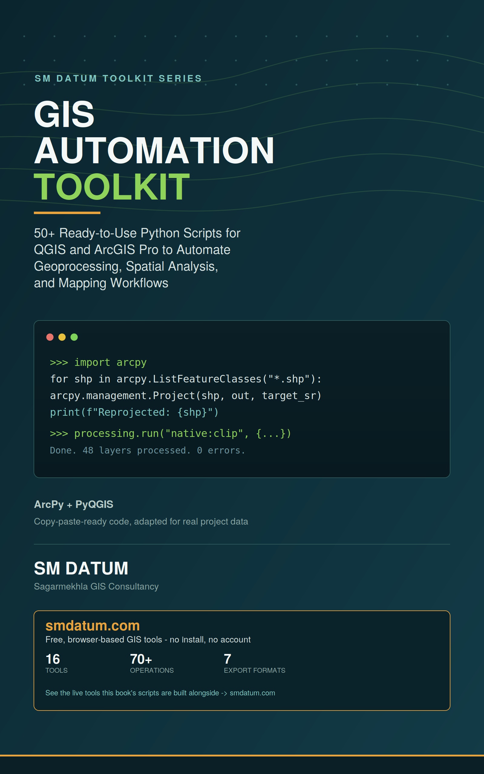
GIS Automation Toolkit book cover
Book 1 of 4 — SM Datum Toolkit Series

GIS Automation Toolkit

50+ working Python scripts, organized by task — batch format conversion, coordinate system detection and reprojection at scale, clipping/merging/dissolving across many files at once, attribute automation, spatial overlay, map layout automation, and topology QC. Every script that applies to both platforms is given in ArcPy and PyQGIS. Includes a beginner-friendly foundation section, so it works as a tutorial as well as a reference.

Get the GIS Automation Toolkit + Rapid Terrain Analysis Toolkit Kindle bundle for $12.51 — see the bundle on Amazon.
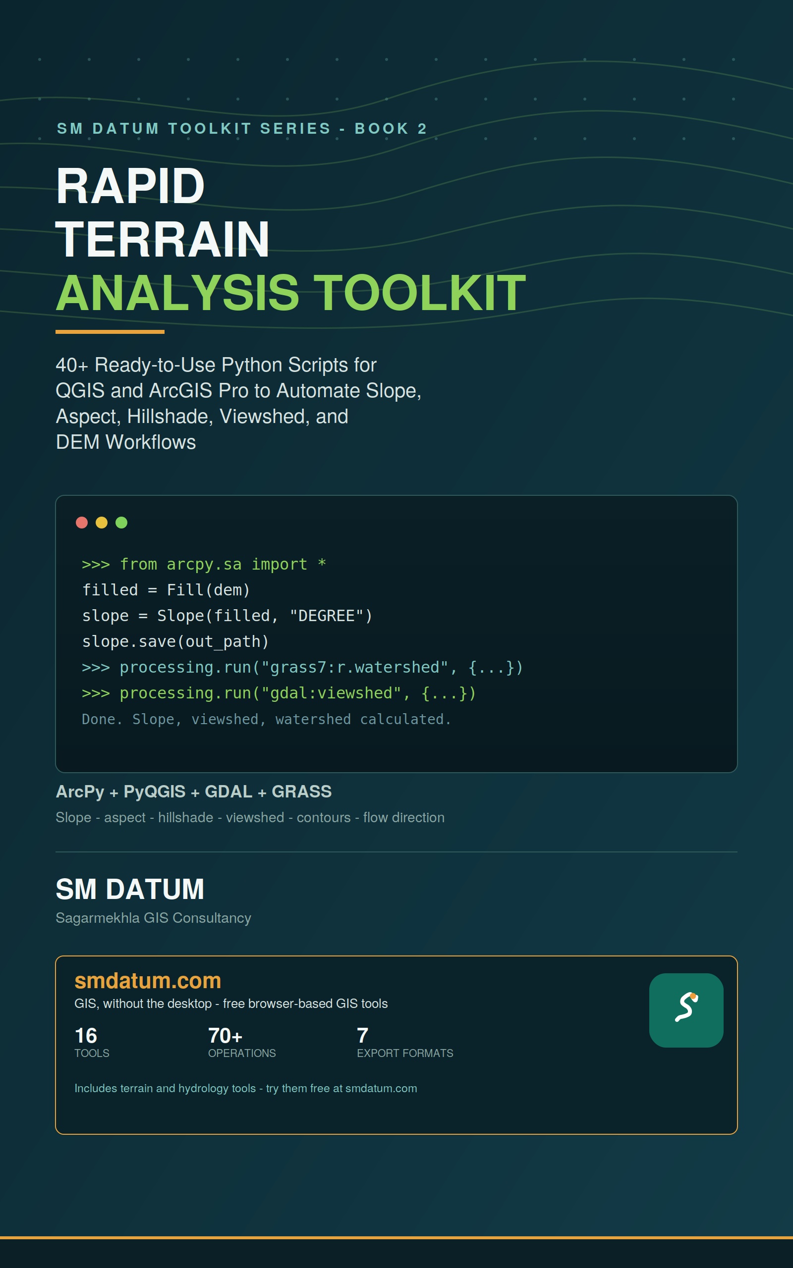
Rapid Terrain Analysis Toolkit book cover
Book 2 of 4 — SM Datum Toolkit Series

Rapid Terrain Analysis Toolkit

40+ scripts focused entirely on DEM and terrain workflows — automating slope, aspect, hillshade, and viewshed generation, batch contour extraction, and DEM-derived watershed and flow-analysis pipelines in ArcPy and PyQGIS, so a job you'd otherwise repeat layer by layer runs as one pass.

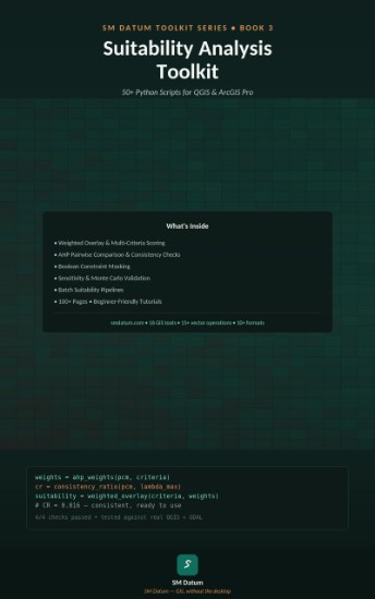
Suitability Analysis Toolkit book cover
Book 3 of 4 — SM Datum Toolkit Series

Suitability Analysis Toolkit

50+ scripts for turning any set of criteria into a defensible, weighted suitability map — weighted overlay and multi-criteria scoring, AHP pairwise comparison with consistency checks, boolean constraint masking, sensitivity and Monte Carlo validation, and batch suitability pipelines — in ArcPy and PyQGIS, so re-running the analysis with new weights takes one pass instead of rebuilding it in the GUI each time.

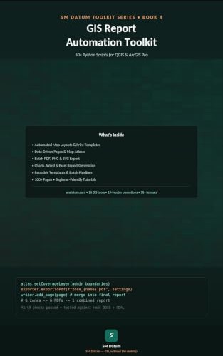
GIS Report Automation Toolkit book cover
Book 4 of 4 — SM Datum Toolkit Series

GIS Report Automation Toolkit

50+ scripts for turning finished analysis into finished deliverables — automated map layouts and print templates, data-driven pages and map atlases, batch PDF/PNG/SVG export, and chart, Word, and Excel report generation — in ArcPy and PyQGIS, so a map series or report set that used to mean exporting layouts one by one now runs as a single batch job.

Prefer to try it in the browser first?

Raster Tools and Hydrology Tools on this site run several of the same terrain operations — slope, hillshade, contour, watershed delineation — free, with no script to run yourself.

Try Raster Tools